Click through the tabs for software downloads and help guides/videos.
NuMan Pro 5.3
About
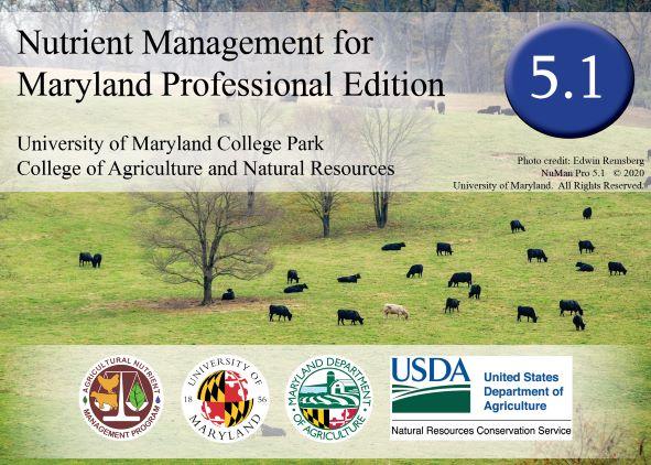
Nutrient Management for Maryland - Professional Edition version 5.3
NuMan Pro 5.3 was released in March 2024. Users are advised to use NuMan Pro 5.3 in lieu of earlier versions. See information below for upgrading to NuMan Pro 5.3.
How to Get the Program
- Upgrading your version of NuMan Pro:
- If you currently have NuMan Pro installed on your computer, the NuMan Pro 5.3 software update can be downloaded for free using the NuMan Pro 5.3 download and update instructions.
- Download NuMan Pro 5.3
- Purchasing a copy of NuMan Pro 5.3:
- Certified Nutrient Management Consultants can purchase a copy of NuMan Pro 5.3, please refer to the ordering website (please note you will need to send an email to address listed at this website to request the software).
Tech Support
Help with software is just a phone call away. If you are working with this program and have problems or questions, please call any of our nutrient management specialists and they will be happy to assist you.
Help Guides
The following Help Guides provide detailed information on how to use the NuMan Pro 5.3 software
The Basics -
- Introduction to the NuMan Pro software - Navigating the basic screens, saving files, and printing reports.
- Entering basic farm information - Includes the "Farmer and Consultant", "Field", and "Soils" tabs
- The Scenarios tab: Part 1 - How to enter crops, tillage, and nitrogen credits from previous crops
- The Scenarios tab: Part 2 - How to enter organic amendments
- The History tab - Entering information about previously applied organic amendments
- The Recommendations tab: Part 1 - A basic introduction to the recommendations tab
- The Recommendations tab: Part 2 - How to make adjustments to the recommendations
- The Phosphorus Management Tool (PMT) - Using the version of the PMT that is included within NuMan Pro software
- "Building a Rotation" Guide - Using the new "rotation builder" component of NuMan Pro 5.0 that calculates P removal over multiple years and crops
Tips and Tricks -
PMT Stand-alone Program
QGIS
About
QGIS is an Open Source Geographical Information System program – it comes with the right to download, run, copy, alter, and redistribute the software for free. It is designed to capture, store, manipulate, analyze, manage, and present all types of geographically referenced data. Nutrient Management Advisors can use QGIS for finding necessary information to import into RUSLE2 and to generate maps that are required in Nutrient Management Plans.
Download the most recent stable version (3.16) here.
QGIS Help Guides and Templates
Help Guides:
- Lesson 1 - Geographic Information Systems and Their Use in Nutrient Management (updated 5/12/17)
- Lesson 2 - Downloading County Files and Installing QGIS (updated 8/20/21)
- Lesson 3 - Introduction to QGIS (updated 8/20/21)
- Lesson 4 - Using Google Earth Pro to Draw Field Boundaries and Importing them into QGIS (updated 7/20/20)
- How to create kml files from Google Maps (Use this document if Google Earth does not function on the computer)
- Lesson 4 Alternative- Using QGIS (version 3.4 or later) to Draw Field Boundaries (updated 7/20/20)
- Lesson 5 - Determining Distance to Water and Calculating an Average Slope Length and Percent Slope for P-Risk Tools (updated 8/20/21)
- Lesson 6- Adding Missing Waterbodies and Setback Buffers in QGIS (8/20/21)
- Lesson 7- How to use QGIS (version 3.4 or later) to create maps (updated 7/20/20)
Templates/Examples:
- Nutrient Management Plan Map Example (updated 6/9/21)
- Slope and Distance to Water Template (updated 2/4/2020)
Frequently Asked Questions:
- FAQs for QGIS (updated 4/15/20)
Downloadable QGIS Files
Choose the Maryland county you would like to download below.
The files have been compressed to speed up the download times, but please note that these files are still very large and that the time to download them will depend on your internet connection and speed. For further instructions on downloading and unzipping the files, please refer back to the QGIS Help Guides.
Counties:
Note: All counties were last updated March 2021 unless otherwise noted.
RUSLE2
The official NRCS version of RUSLE2 for use in guiding conservation planning, inventorying erosion rates and estimating sediment delivery. This is a free download that can be used to estimate soil loss from a field. Soil loss must be determined as part of the PMT equation. RUSLE2 is one option that you can use to determine soil loss.
Access the RUSLE2 software, Database components, a RUSLE2 tutorial, data collection sheets and more.
Other Materials:
- Important RUSLE2 Soils Data Update (with screenshots)
- RUSLE2 Download, installation, and setup instructions
- RUSLE2 Operations
- USDA Tillage Equipment Pocket Identification Guide
- RUSLE2 Abbreviations Guide
User's Manual:
- Maryland RUSLE2 Guide
