Need some assistance in entering your stormwater practice into the SMART tool?
Enter Your Property Information
By clicking Yes to using the SMART tool, you indicate that you are at least 18 years of age and you voluntarily agree to share your information with University of Maryland Extension, Maryland Sea Grant, Alliance for the Chesapeake Bay and their partners.
Thank you for sharing your stormwater practice with the University of Maryland Extension, Alliance for the Chesapeake Bay and our partners. The information you provide will be shared with localities and other entities that have some legal water quality reporting requirement. All partners have signed a confidentially statement agreeing not to disclose or discuss the facts of any individual(s) except as it pertains to reporting stormwater BMP and water quality information. Your information will not be sold or added to any mailing or email lists that are not associated with the SMART tool.
Owner Information
This is the information about the landowner where the BMP is located. If you are entering the data on behalf the of the landowner, you will have an opportunity to enter your contact information. This information is collected for purposes of contacting the as it pertains to their BMP.
|
Data Field |
Description |
|
Owner Name |
Enter the first and last name of the landowner where the BMP is located. |
|
Owner Phone |
Enter the 10-digit phone number for the landowner -no spaces or dashes (9999999999). |
|
Owner Email |
Enter a valid email address for the landowner. |
|
Preferred Contact Method |
Select “Phone” or “Email”. Landowners may be contacted to get additional information about their practice or to set up a certification visit. |
|
Click here if you are not the property owner |
Check this box if you are NOT the landowner and are entering the information on behalf of the landowner. You will be asked to enter the following information:
|
Address Information
This is the information about the location where the BMP is located. This information is collected to determine appropriate nutrient & sediment removal rates and report clean water efforts based on geography.
|
Data Field |
Description |
|
Physical Address |
Enter the street (911) address for the physical location of the BMP |
|
Mailing Address |
If the landowner has a mailing address different from that of the physical address of the BMP enter the entire address here (street, city, state and zip code) |
|
City |
Enter the city where the BMP is located. |
|
State |
Select the state where the BMP is located. |
|
County/Locality |
Select the County/Locality where the BMP is located. |
|
Municipality |
Select the incorporated municipality where the BMP is located (includes townships, boroughs, citys, etc.). |
|
Zip Code |
Enter the zip code where the BMP is located. |
|
Dwelling Year Built |
Enter the 4-digit year the primary structure on the property was constructed (9999) |
Project Information
This is the information provides additional information about the landowner and BMP. This information is collected for the purpose of
|
Data Field |
Description |
|
Motivation for Project |
What was the landowner’s motivation to install the BMP? Select all that apply and/or add your own by selecting “other”. |
|
Estimated Cost |
What was the estimated cost of the BMP? Enter only whole dollars – numbers only. |
|
Funding Source |
Select how the project was funded. |
|
Show project on map? |
Select “YES” to have your practice shown on the map. |
Moving forward
|
|
Select “Print” if you would like a copy of what you have entered. |
|
Next |
Select “Next” to move onto BMP selection. |
Enter Your Stormwater Practice
Common Homeowner BMPs
Conversion from impervious to Turf/Conservation Landscaping
Definition
The practice of removing impervious hardscape and replacing it with amended soils, appropriate turf and/or native plantings.
|
Data Field |
Descriptions |
|
Size of the turf/conservation landscaping |
Enter the size, in square feet, of the turf grass or conservation landscaping installation. Click HERE for help in determining the area of a practice. |
|
Is the turf/conservation landscaping vegetated? |
Select “Yes”. If the area is not vegetated – this is not the appropriate practice to be reporting. |
|
Area of turf grass |
Enter the size, in square feet, of the turf grass area planted. Click HERE for help in determining the area of a practice. |
|
Number of grasses planted |
Enter the number of native grasses planted in the conservation landscaping. |
|
Number of perennials planted |
Enter the number of native herbaceous perennials plants planted in the conservation landscaping. |
|
Number of shrubs planted |
Enter the number of native scrubs planted in the conservation landscaping. |
|
Number of trees planted |
Enter the number of native trees planted in the conservation landscaping. |
|
Soil media used |
Select all media types used to construct the turf/conservation landscaping practice. |
|
Was a percolation test conducted? |
Check “Yes” if a percolation test was conducted prior to installing the turf/conservation landscaping practice. |
|
Was Miss Utility contacted? |
Check “Yes” if Miss Utility was contacted prior to installing the turf/conservation landscaping practice. |
|
Who designed the turf/conservation landscaping? |
Enter the name of the person or company that designed the turf/conservation landscaping practice. If designed by the property owner – enter “property owner”. |
|
Who installed the turf/conservation Landscaping? |
Enter the name of the person or company that was responsible for installing the turf/conservation landscaping practice. If installed by the property owner – enter “property owner”. |
|
Who is responsible for maintaining the turf/conservation landscaping? |
Enter the name of the person or company that is responsible for maintaining the turf/conservation landscaping practice. If maintained by the property owner – enter “property owner”. |
|
Installation date |
Enter the date the turf/conservation landscaping practice was installed on the property. |
|
Was this BMP affiliated with a local, state, or regional program? |
Select the primary program for which the turf/conservation landscaping practice is affiliated. |
Moving forward
|
|
Select “Print” if you would like a copy of what you have entered. |
|
Previous |
Select “Previous” if you would like to go back to the Property Information page. |
|
Next |
Select “Next” to move to the next section – verification of BMP placement and uploading of photos |
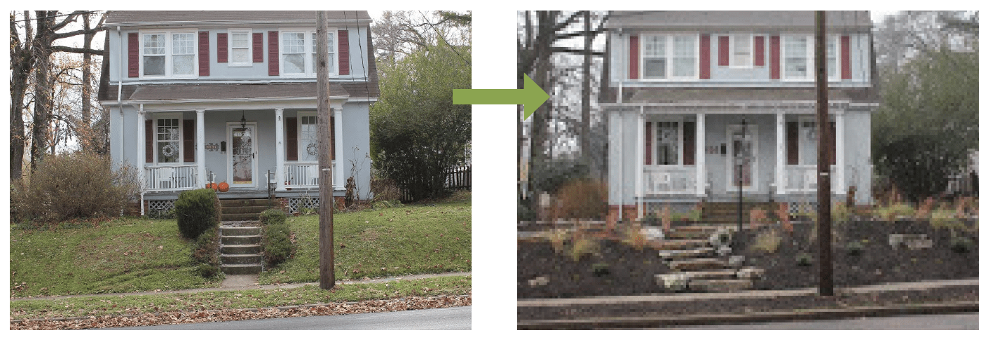
Conversion from Turf Grass to Conservation Landscaping
Definition
A practice that replaces sections of turf grass with native plantings. These plantings provide greater water infiltration and habitat and require less water and fertilizers compared to turf grass.
Date Fields and Descriptions
|
Data Field |
Descriptions |
|
Size of conservation landscaping |
Enter the size, in square feet, of the conservation landscaping installation. Click HERE for help in determining the area of a practice. |
|
Is the conservation landscaping vegetated? |
Select “Yes”. If the area is not vegetated – this is not the appropriate practice to be reporting. |
|
Number of grasses planted |
Enter the number of native grasses planted in the conservation landscaping. |
|
Number of perennials planted |
Enter the number of native herbaceous perennials plants planted in the conservation landscaping. |
|
Number of shrubs planted |
Enter the number of native scrubs planted in the conservation landscaping. |
|
Number of trees planted |
Enter the number of native trees planted in the conservation landscaping. |
|
Soil media used |
Select all media types used to construct the turf/conservation landscaping practice. |
|
Was a percolation test conducted? |
Check “Yes” if a percolation test was conducted prior to installing the conservation landscaping practice. |
|
Was Miss Utility contacted? |
Check “Yes” if Miss Utility was contacted prior to installing the conservation landscaping practice. |
|
Who designed the conservation landscaping? |
Enter the name of the person or company that designed the conservation landscaping practice. If designed by the property owner – enter “property owner”. |
|
Who installed the conservation Landscaping? |
Enter the name of the person or company that was responsible for installing the conservation landscaping practice. If installed by the property owner – enter “property owner”. |
|
Who is responsible for maintaining the conservation landscaping? |
Enter the name of the person or company that is responsible for maintaining the conservation landscaping practice. If maintained by the property owner – enter “property owner”. |
|
Installation date |
Enter the date the conservation landscaping practice was installed on the property. |
|
Was this BMP affiliated with a local, state, or regional program? |
Select the primary program for which the conservation landscaping practice is affiliated. |
Moving forward
|
|
Select “Print” if you would like a copy of what you have entered. |
|
Previous |
Select “Previous” if you would like to go back to the Property Information page. |
|
Next |
Select “Next” to move to the next section – verification of BMP placement and uploading of photos |
Downspout Redirect
Moving forward
|
|
Select “Print” if you would like a copy of what you have entered. |
|
Previous |
Select “Previous” if you would like to go back to the Property Information page. |
|
Next |
Select “Next” to move to the next section – verification of BMP placement and uploading of photos |